Shafaq News-Baghdad
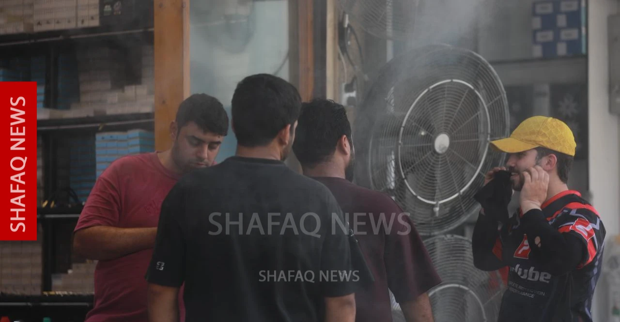
Maximum andminimum temperatures across Iraq have risen sharply over the past six decades,with daytime highs now reaching 44-47°C across much of the country's centraland southern regions, the Climate and Scientific Research Center at the IraqiMeteorological Organization and Seismology reported on Thursday.
Its weeklyanalysis, covering June 25 to July 1, compared current conditions with climaterecords from 1966 and 1996. It found that areas once dominated by 36-39°Cdaytime temperatures have largely disappeared from central and southern Iraq,retreating to limited parts of the western region as hotter conditions becameincreasingly widespread.
Nighttimetemperatures have followed a similar pattern, with minimum readings that rangedbetween 23°C and 27°C across most of Iraq in 1966 rising to 28-32°C across muchof the central and southern provinces by 2026, although parts of the centraland northern regions recorded a slight decline compared with 1996.
: Iraq’s Green Belt: The race to forestall desertification
The centerattributed the long-term warming trend to global climate change, risinggreenhouse gas concentrations, urban expansion, and shrinking vegetation cover,noting that the findings support planning for climate adaptation, agriculture,water resources, and urban development.
The UnitedNations ranks Iraq among the world's five countries most vulnerable to climateextremes. According to the Green Iraq Observatory, 96.5 million dunams (9.65million hectares), or 55.5% of the country's land, are at risk ofdesertification, while 40.4 million dunams (4.04 million hectares), or 23.2%,have already become desertified —an increase of nearly 49% since 2021. Theobservatory estimates that salinity and land degradation destroy about 100,000dunams (10,000 hectares) of farmland each year, with Dhi Qar, Maysan,Al-Muthanna, and Al-Diwaniyah among the hardest-hit provinces.
: Beyond 50°C: How decades of conflict are heating Iraq